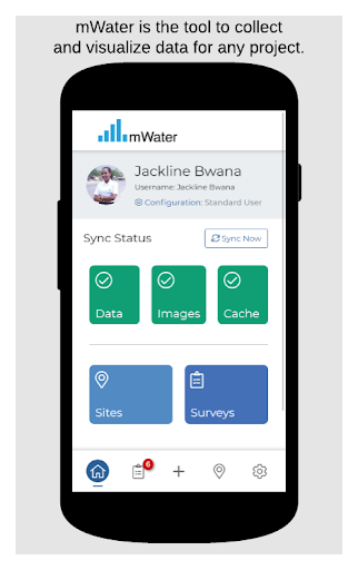
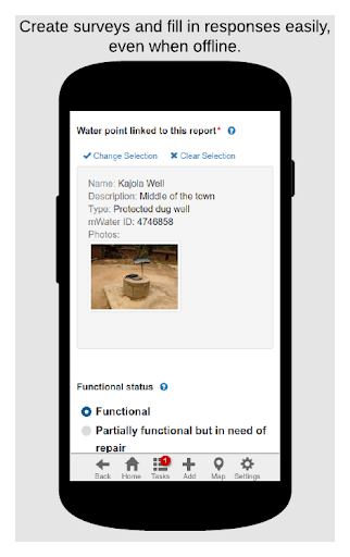
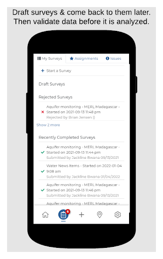
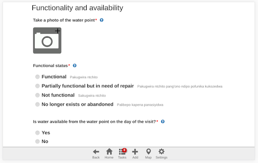
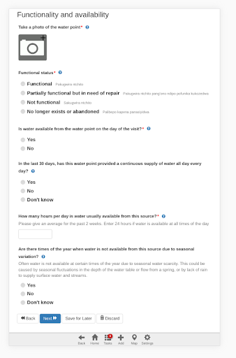
With mWater Surveyor you can:
• Record data for any surveys you want
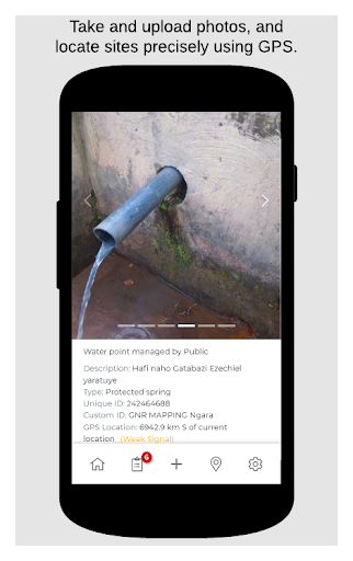
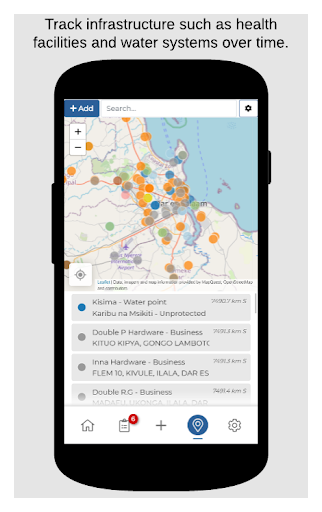
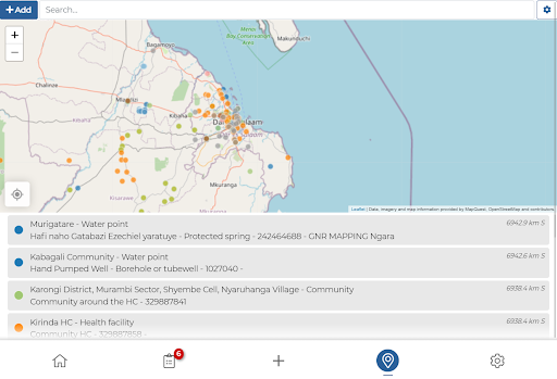
• Map sites and monitor them longitudinally with surveys
• Track data over time for water points, water systems, communities, health care facilities, schools, and other infrastructure
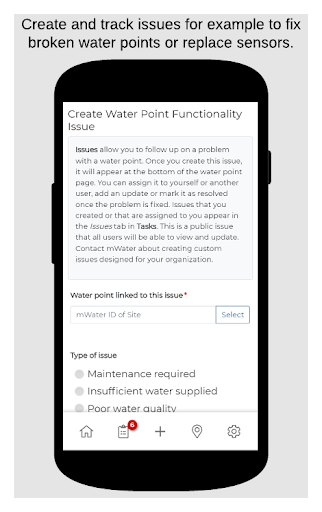
• Assign, receive and complete tasks
• Upload photos
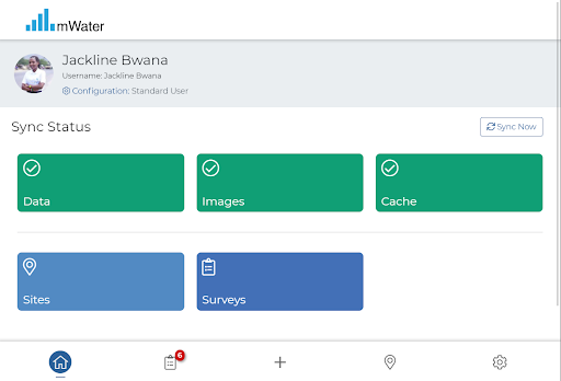
• Work offline and data will sync automatically when reconnected
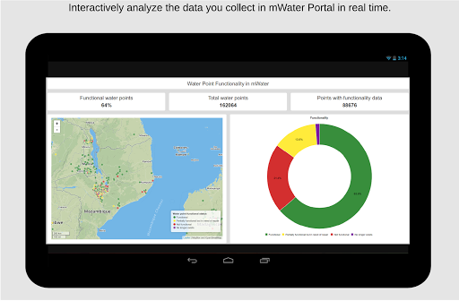
• Analyze results in real time
You can design your own forms, manage, map, and analyze your data at
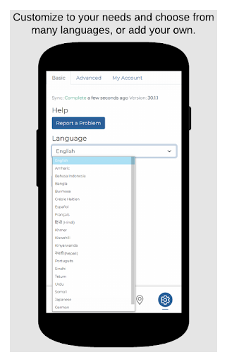
https://portal.mwater.coAvailable in 20 languages
mWater is free to user forever